Almost Lost in Connetquot River Park Preserve
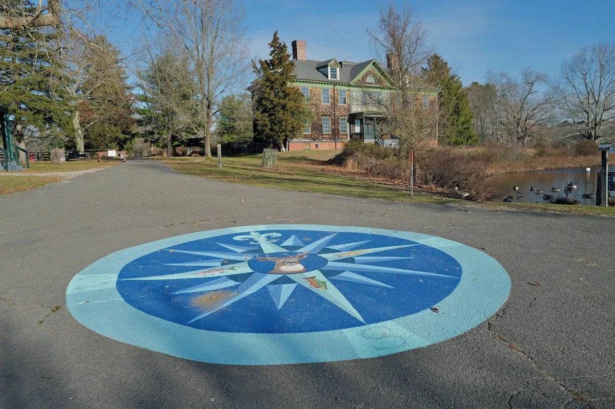
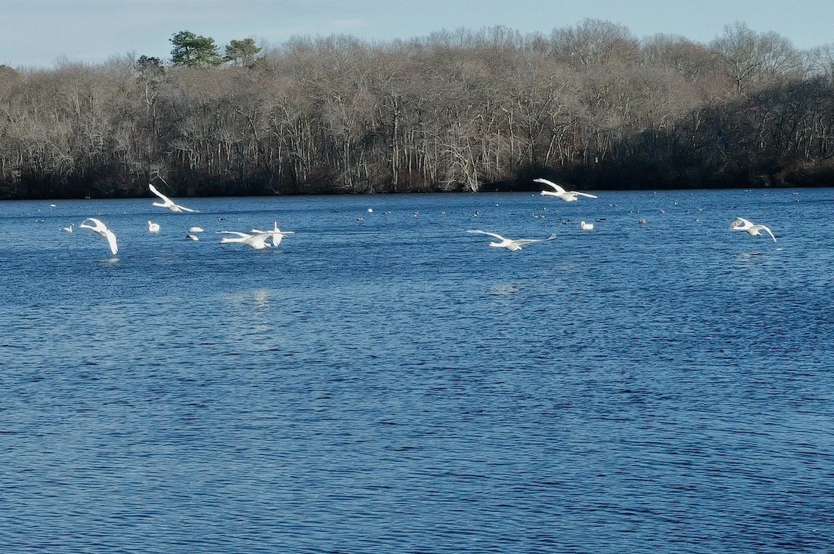
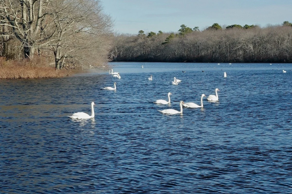
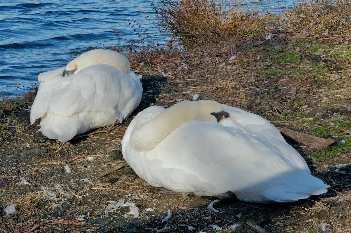
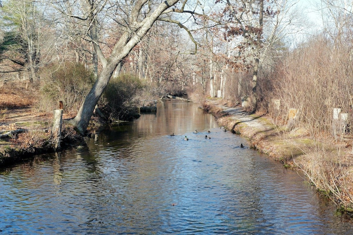
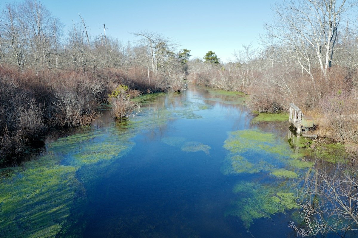
I broke from my usual routine and went looking for a hike that wasn’t along the beach or inside the familiar sweep of the Fire Island National Seashore. For months I’d seen posts in a handful of Long Island nature groups about Connetquot River State Park Preserve — a place where bald eagles nest, ospreys patrol the sky, and waterfowl gather by the hundreds. Nearly 3,500 acres, more than 50 miles of trail, and the first official “State Park Preserve” in New York, created specifically to protect ecological, cultural, and historic resources. It felt like the right place for a reset.
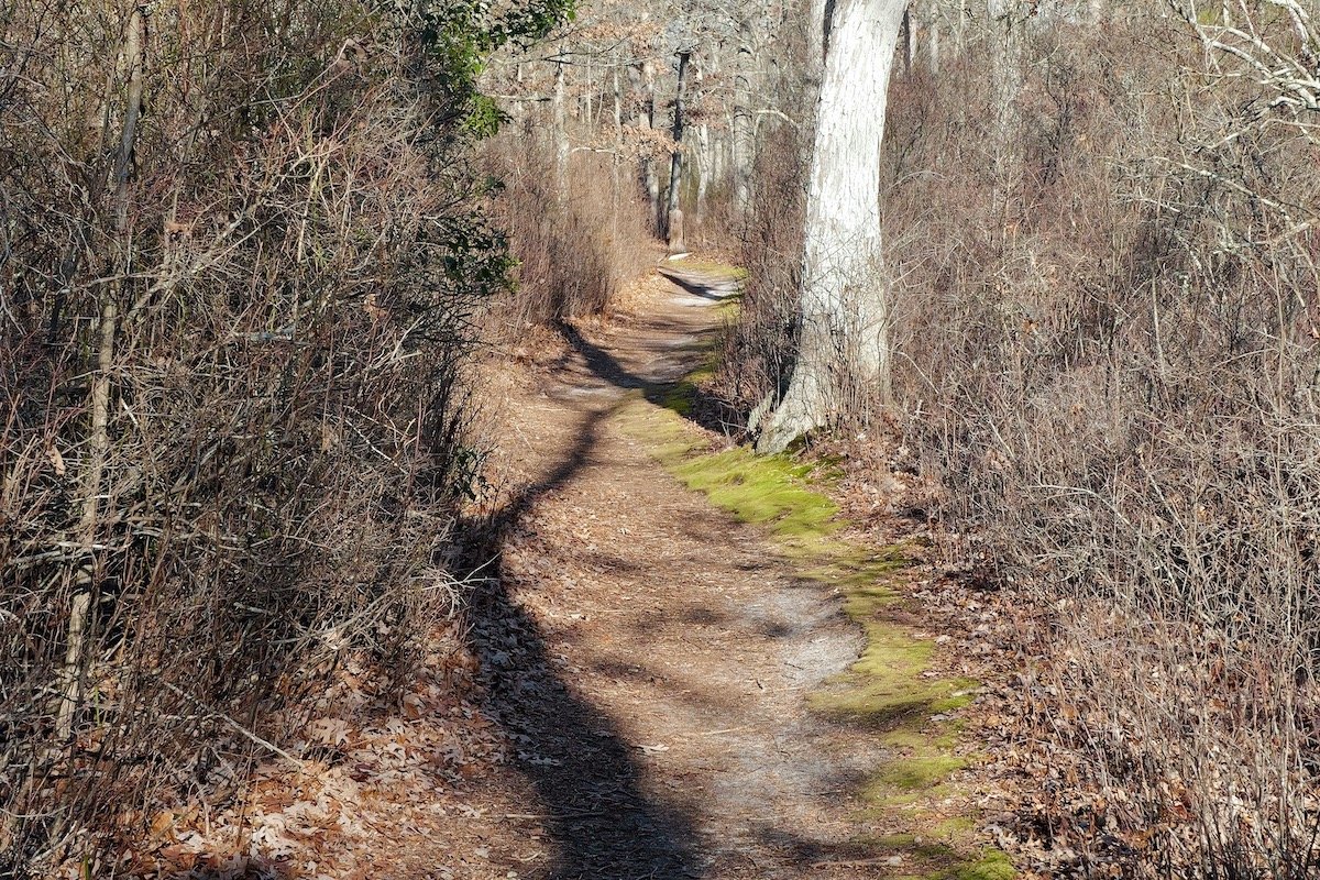
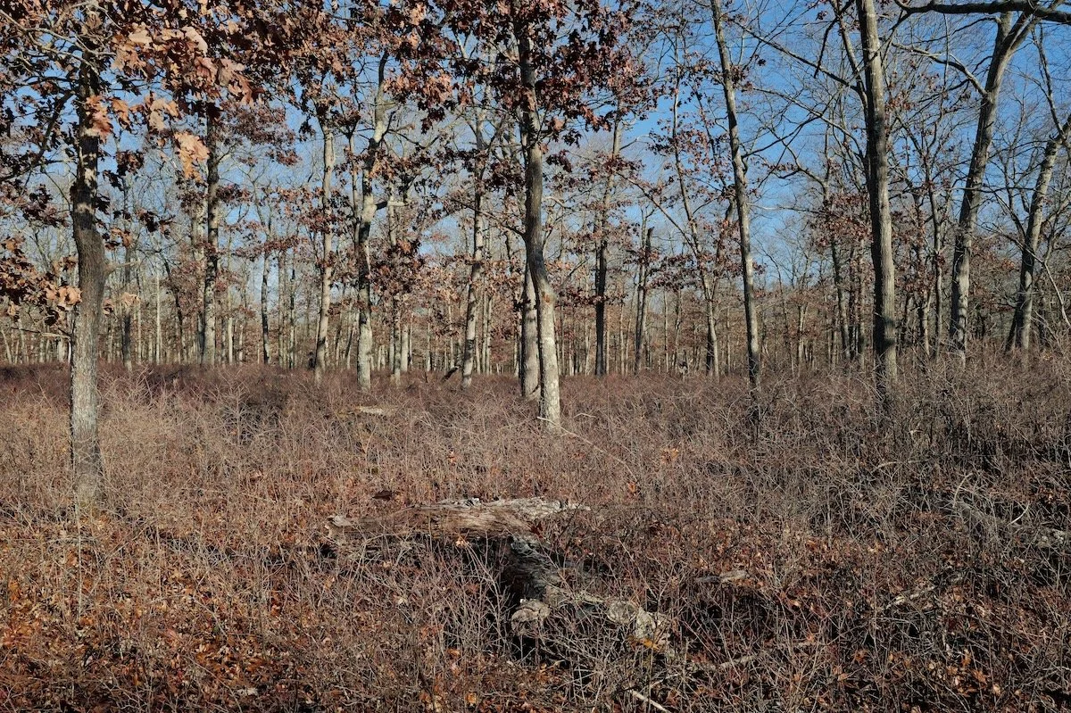
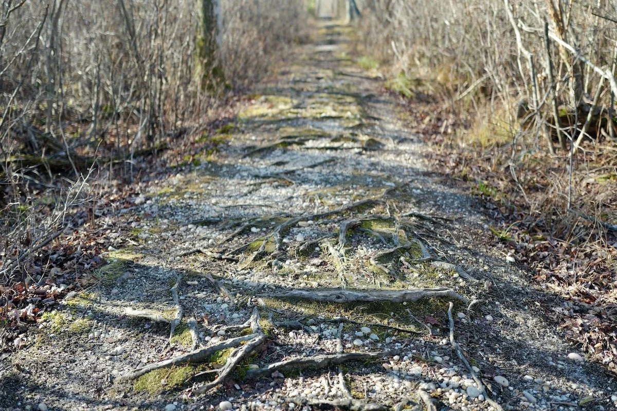
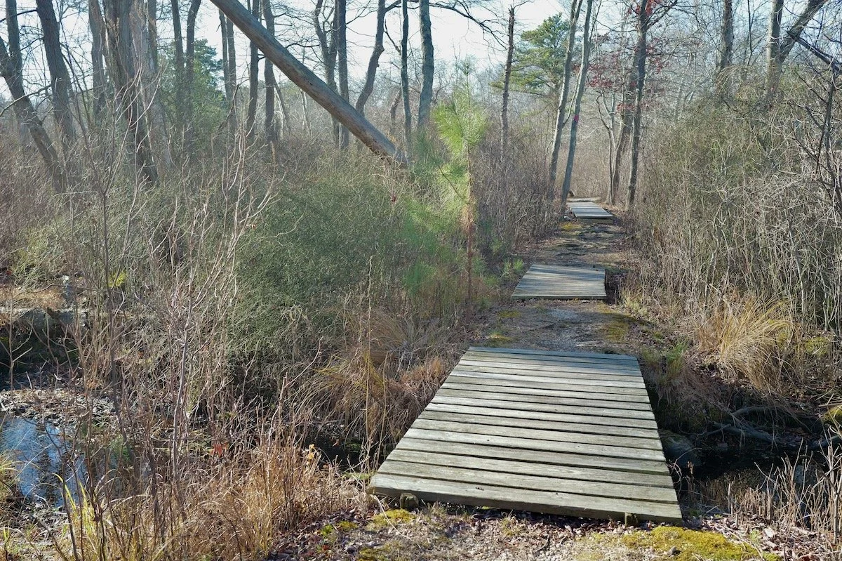
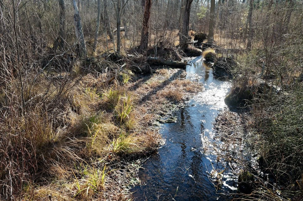
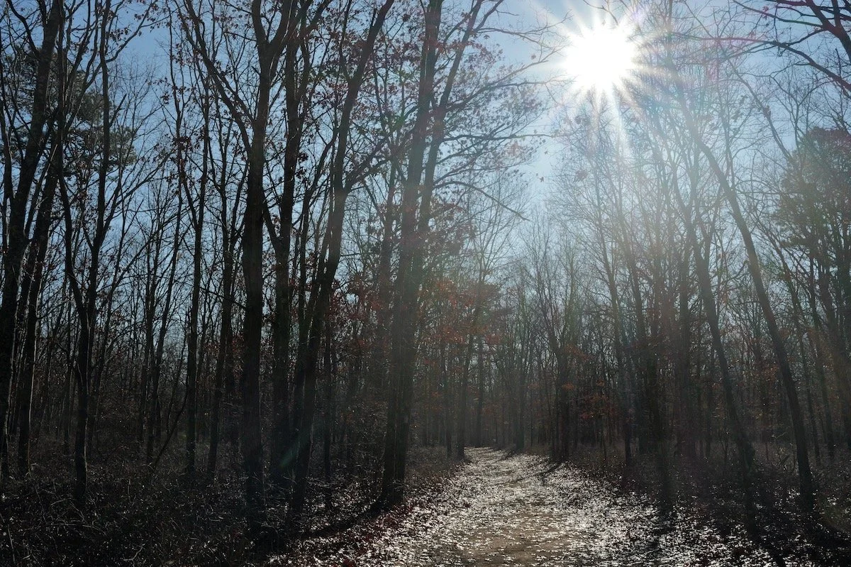
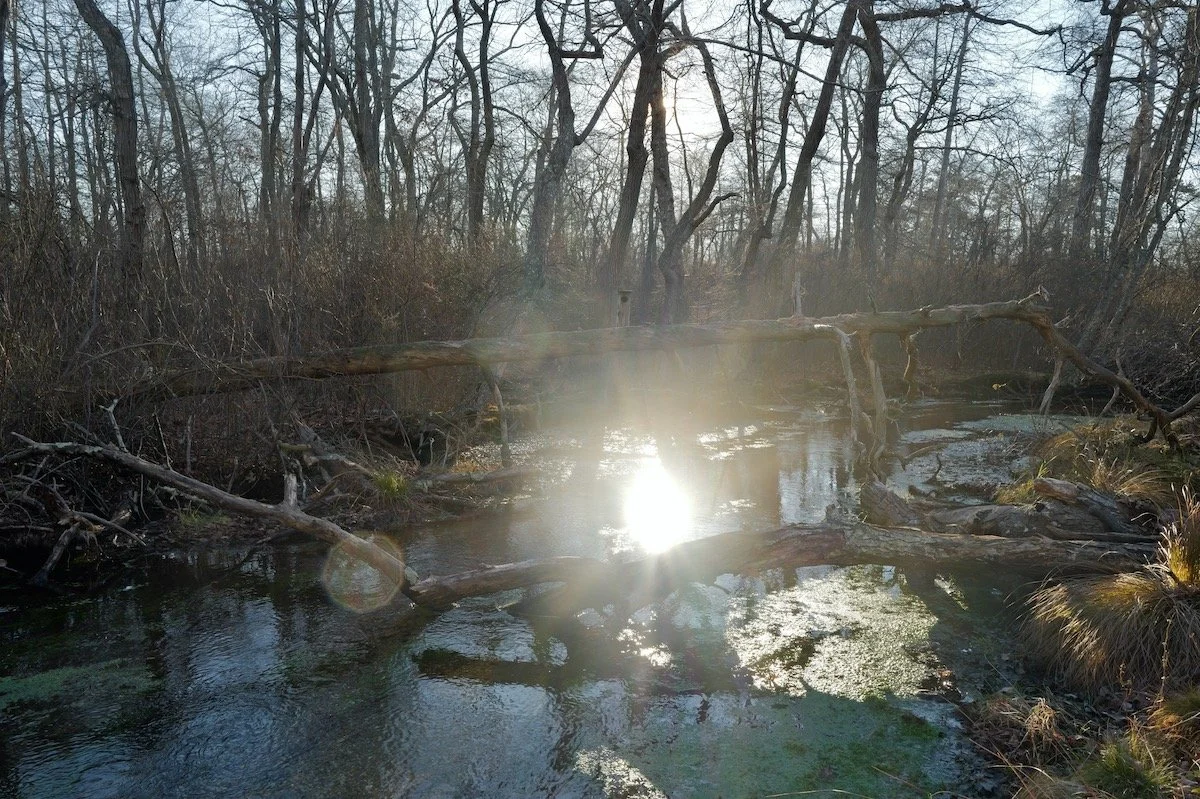
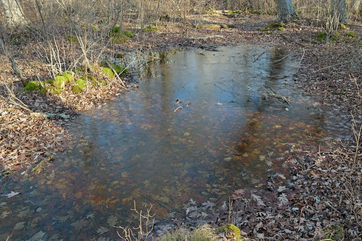
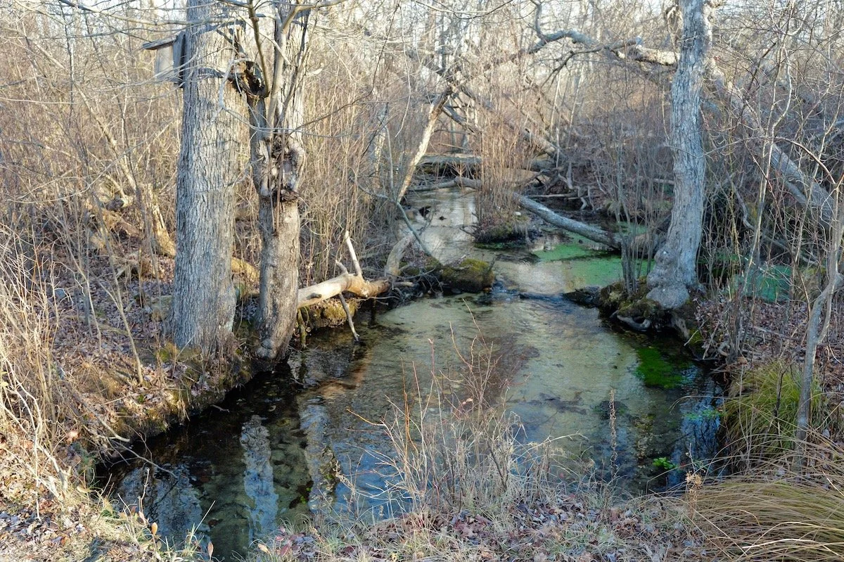
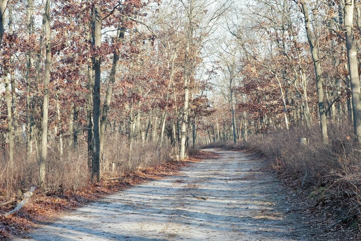
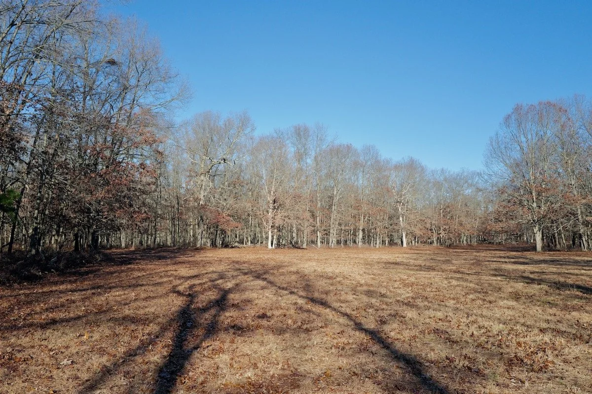
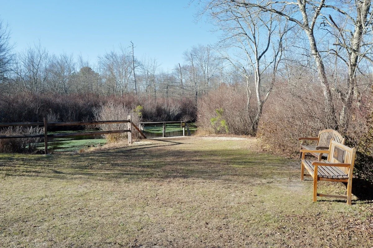
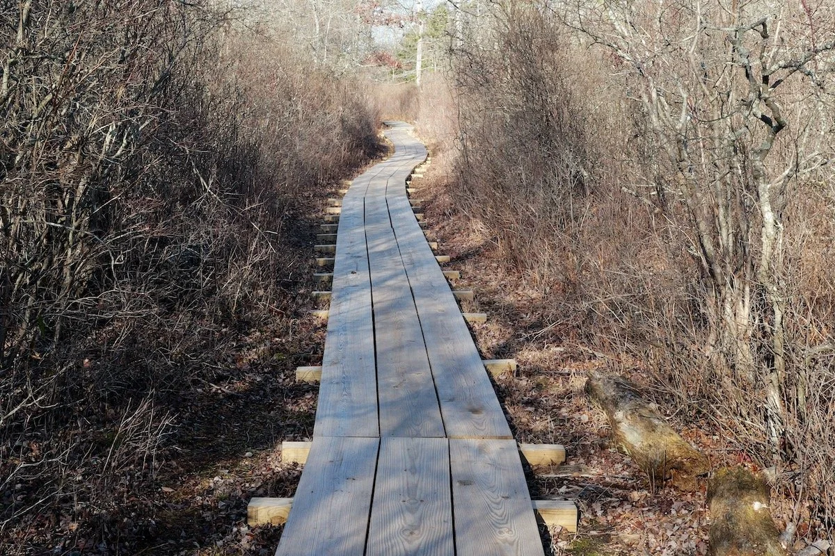
So, as a post-Thanksgiving adventure, I headed out on Friday, November 28, and again on Saturday the 29th, logging just over 10 miles of trails. The heart of the park is the Connetquot River itself — fed by quiet tributaries, marsh flats, and shadowed wetlands. Trails roll from sandy carriage roads to tight footpaths knotted with roots and planked crossings that skip over wet ground.
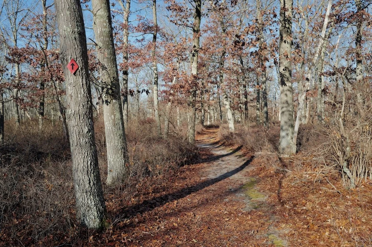
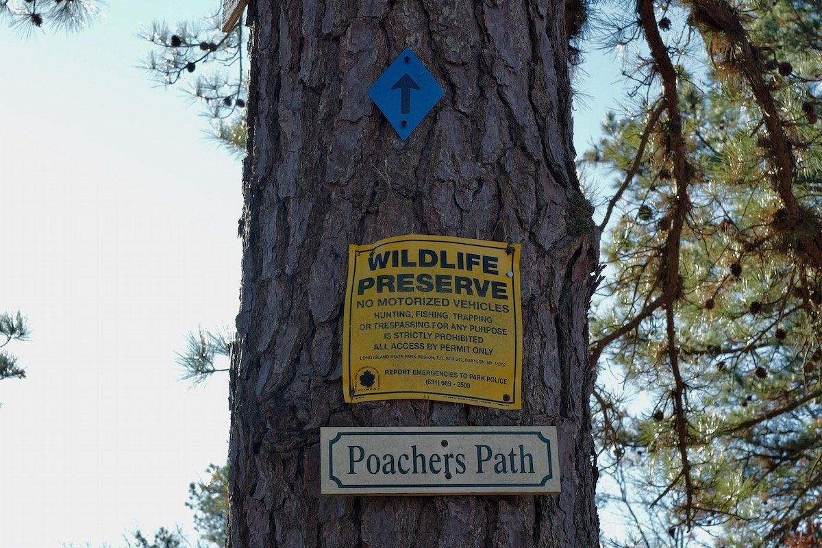
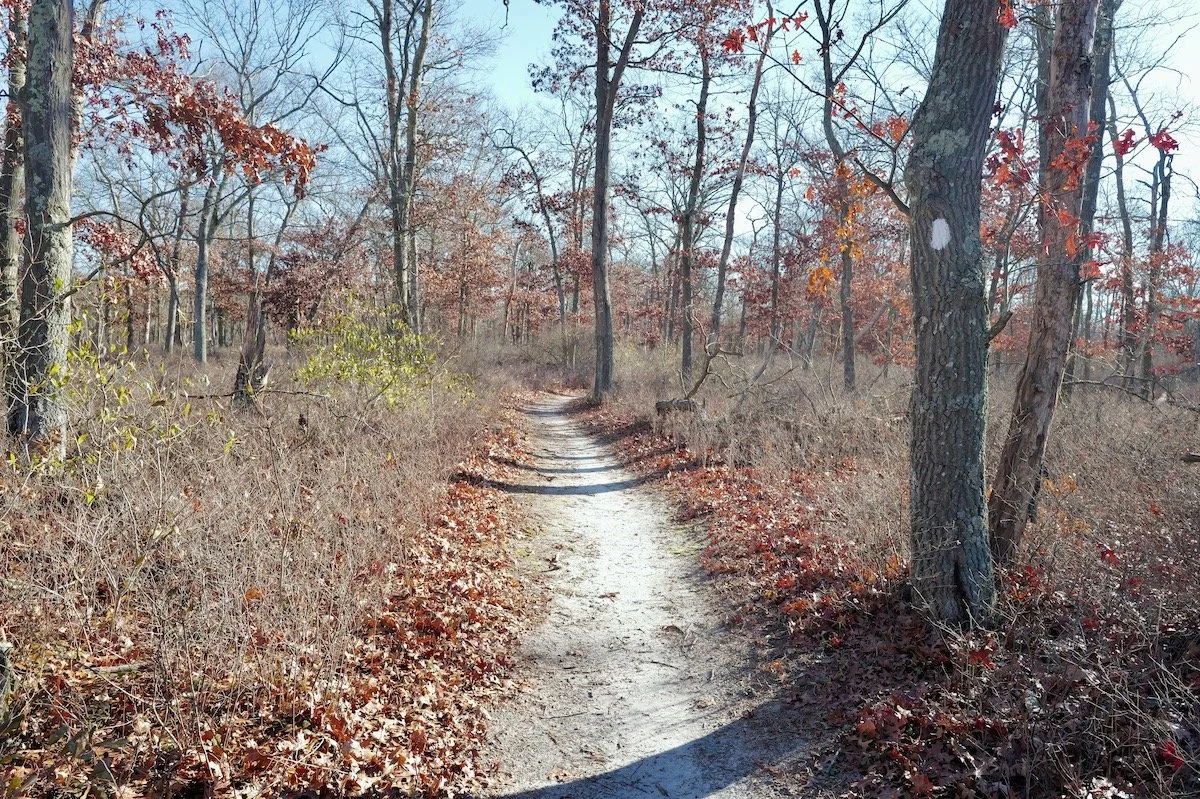
Friday’s walk stayed close to the basics: from the Environmental Center east around the river, up to the old Fish Hatchery, then back south to the start — easy miles with well-marked blazes.
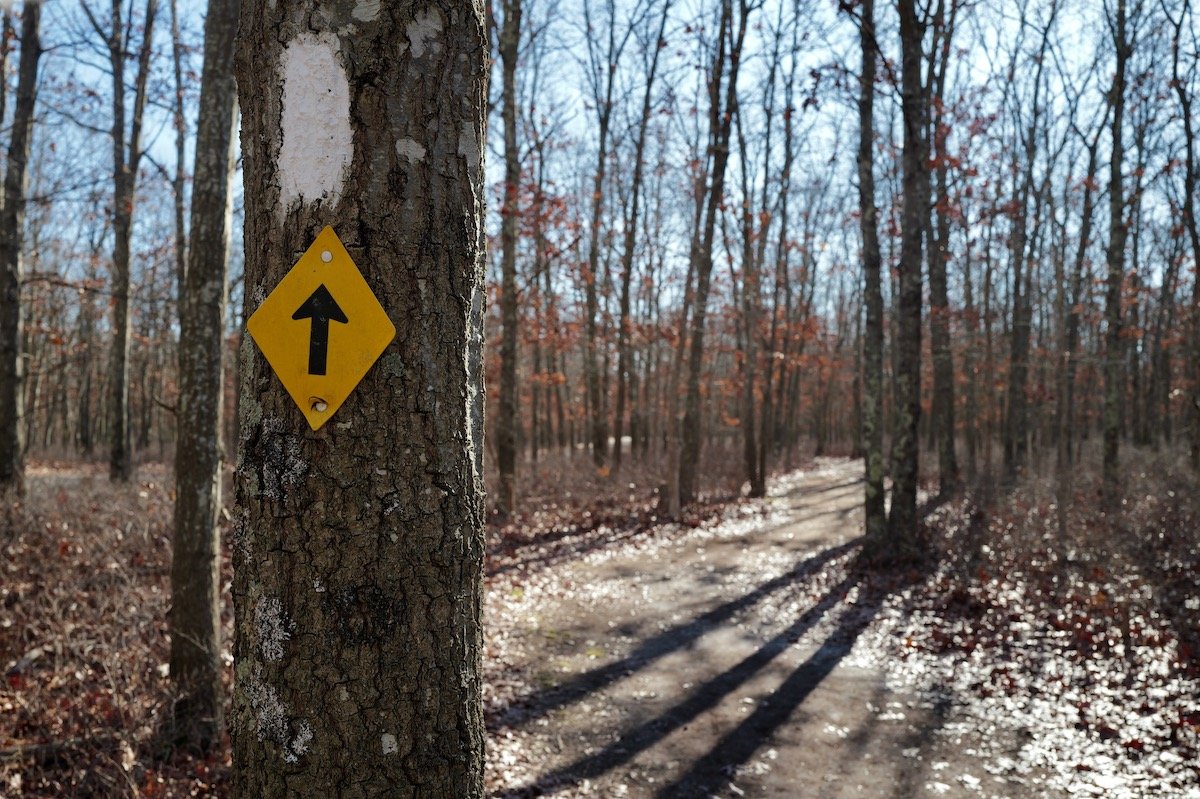
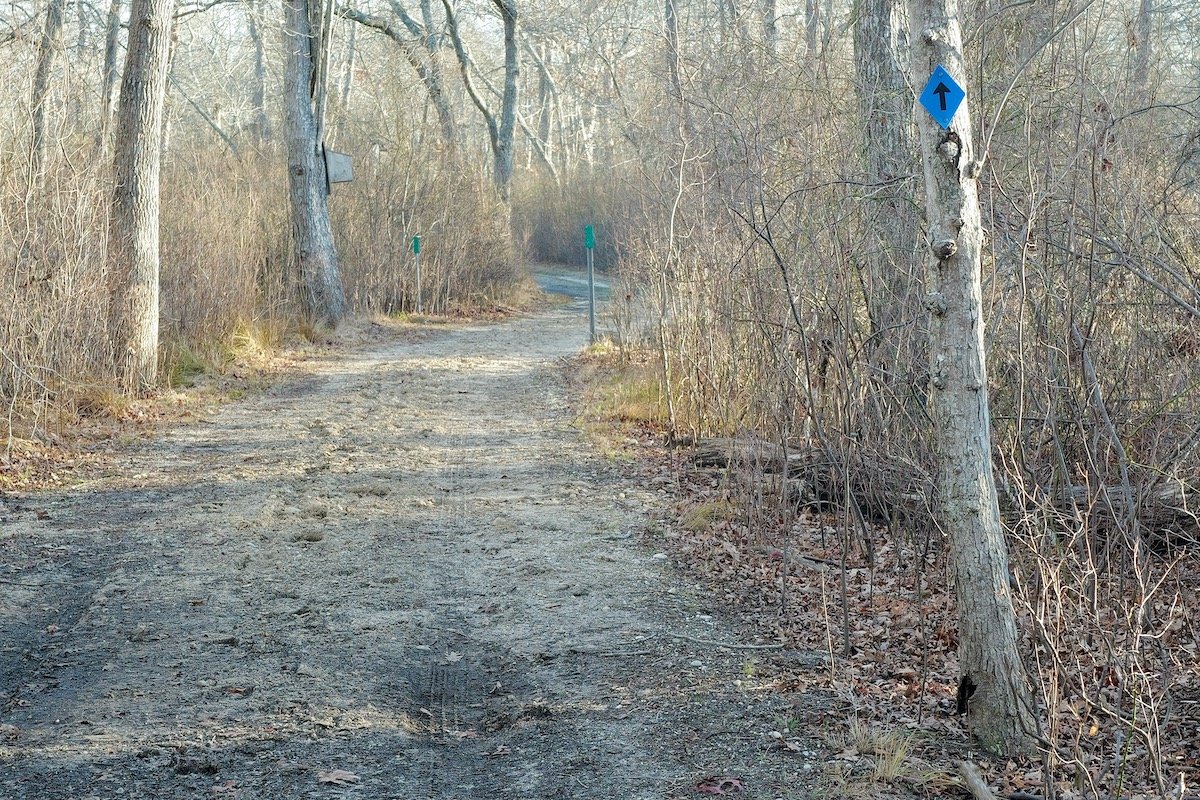
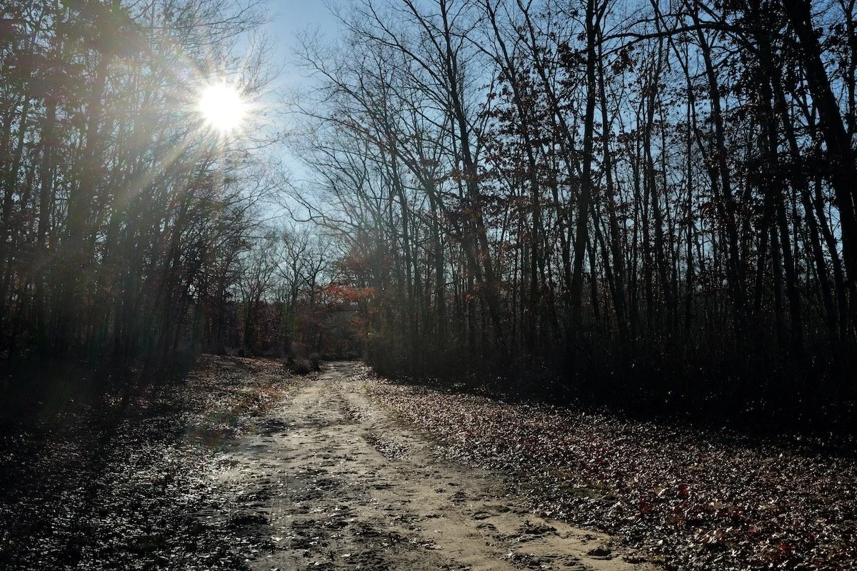
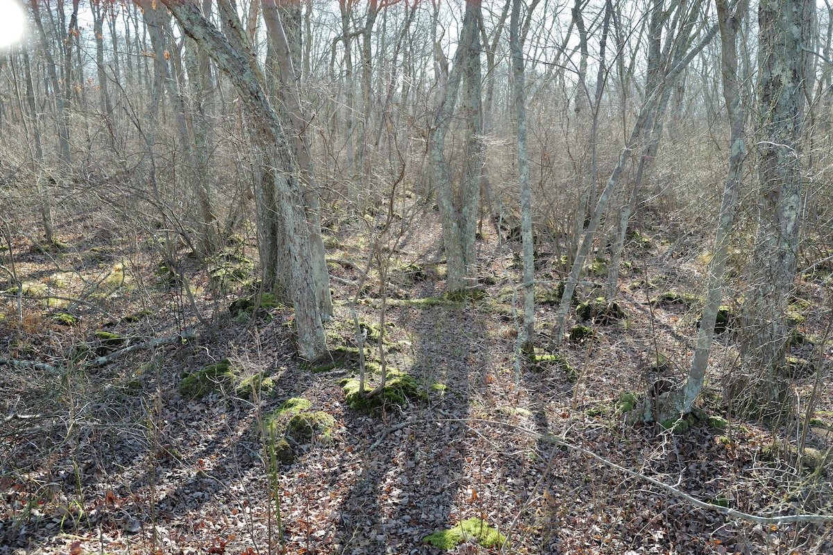
Saturday was different. I started at 8 a.m. in cold, sharp sunshine, with puddles still frozen from the night’s drop below freezing. I pushed farther east toward the park’s outer edges and then north for several miles. After about an hour, something felt off. Where I thought I was on the map didn’t match the ground in front of me. The trails were clear enough, the blazes reliable, but the intersections were… aspirational at best.
I hadn’t checked my iPhone since leaving the parking lot — on purpose. The whole point of walking in the woods is to avoid that little attention-sucking brick.
So there I was: not exactly lost, but not exactly sure, either.
To be clear — this is Long Island. You’re never more than a few miles from a pizzeria in any direction. This wasn’t a survival story; it was just irritating that, after forty years outdoors, I couldn’t decide whether to keep going forward or turn back.
I pulled out the crumpled map from the trailhead and noticed it included a simple topo overlay. Perfect. Time to go old-school. A quick check of the sun, the contours on the page, and the lay of the land told me I needed to walk about half a mile farther to reach the cross-trail I wanted.
Not a Shackleton situation by any stretch, but as I’ve learned: it’s not an adventure until something goes just a little bit wrong, and you work your way through it.